By Ray Hiemstra
King Tides are a natural phenomenon that occurs every year around December and January. At this time the earth, sun, and moon align to create the highest and lowest tides of the year. While the term “King Tide” isn’t scientific, it is commonly used in the media and educational outreach. A king tide’s scientific name is perigean spring tide, “perigean” meaning that the moon is closest to the earth, and “spring” referring to a full or new moon. Since they are unusual events, King Tides are a useful tool to talk about sea level rise and the climate change that is causing it.
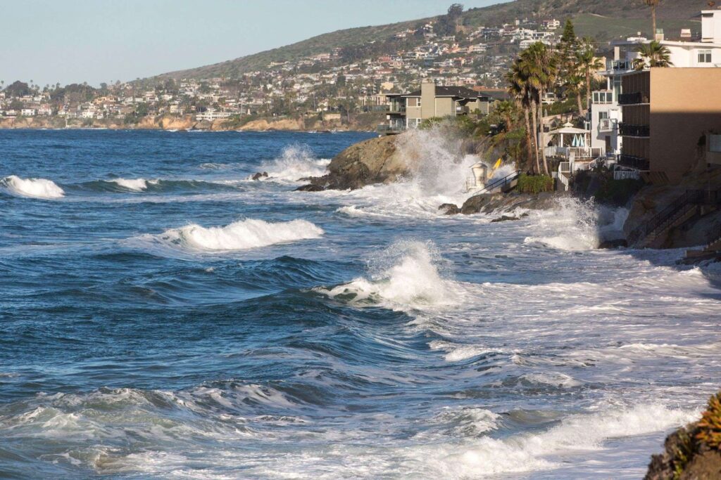
King tides at Agate Street Beach, Laguna Beach by California Coastal Commission
The sea level rise we’re experiencing now and will experience in the future is caused by the growing concentration of carbon dioxide (CO2) in the atmosphere created when people burn fossil fuels like coal, oil, and gas. Carbon dioxide in our atmosphere acts like a blanket, trapping in heat that would otherwise escape, and when we burn fossil fuels, we’re adding more carbon dioxide, thereby “thickening the blanket” and warming the planet and ocean. Sea level is rising because land-based glaciers and ice sheets are melting into the ocean and because water expands in volume when it warms.
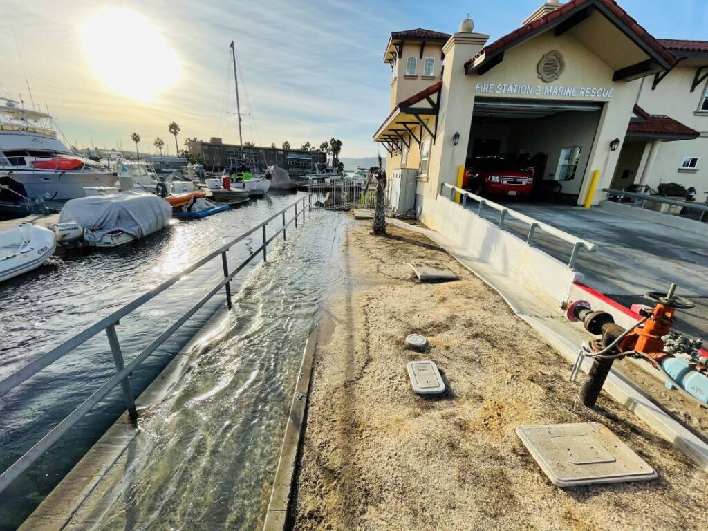
King Harbor patrol building, Redondo Beach by California Coastal Commission
Increases in global sea levels have been recorded by tide gauges since the late 1800s, and more recent observations have been collected by NASA satellites. The amount of sea level rise we will ultimately experience will depend on how quickly we stop burning fossil fuels. When King Tides occur during floods or storms, water levels can rise higher and have the potential to cause significant damage to the coastline and coastal property. Low-lying areas of Los Angeles and Orange Counties, and the rest of California are already seeing the impacts of sea level rise through more flooding than in the past. Some cities like Imperial Beach have begun the conversation on what is called Managed Retreat to protect citizens and their properties who are at risk from sea level rise.
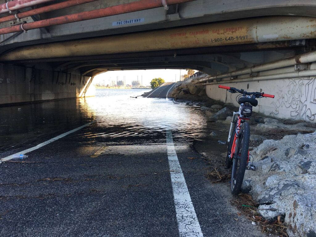
Flooding at Pacific Coast Highway at San Gabriel River, Seal Beach by California Coastal Commission
While King Tides themselves are not related to climate change, they allow us to experience what higher sea levels will be like. King Tides are the highest high tides of the year—one to two feet higher than average high tides, which is a good approximation of how high we expect daily tides to be over the next few decades due to human-caused sea level rise. When you observe the King Tides, imagine seeing these tides (and the associated flooded streets, beaches, and wetlands) every day.
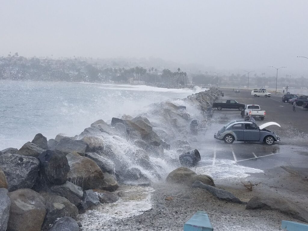
Waves breach the sea wall, Cabrillo Beach, San Pedro by California Coastal Commission
Understanding what a King Tide looks like today will help us plan for future sea level rise. An example of this can be seen in this video of the potential impacts of sea level rise on a desalination plant that was proposed in the city of Huntington Beach. The California King Tides Project by the California Coastal Commission is another great resource for information on King Tides, where thousands of Californians can submit photos of the King Tides in their area for all to see. These visual aids are important for several reasons. First of all, they help the public visualize the slow-moving and complex impacts of climate change. Additionally, they provide researchers with a long-term database of photos to document the conditions during King Tides all along the California coast.
Ray is a member of the Angeles Chapter Water Committee and the Chair of the Orange County Conservation Committee